SINGAPORE OUTLINES
Creation of Singapore Outlines
The outlines of the buildings as seen on our maps in Streetdirectory.com are created using 1m, 10m and 20m satellite images. We are one of the few companies in Singapore that are authorised by the police department to use the satellite images.
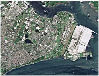 |
10m Satellite Data
Example of a 10m Satellite Data showing the eastern part of Singapore & Johor
|
 |
|
 |
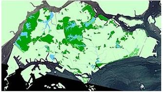
The digitized outline of Singapore |
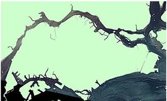 |
The digitised data is then added with colours. The shape of Singapore is completed. |
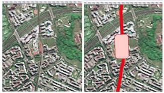
Other more-defined items such as reservoirs, parks, railways, golf courses, major roads, expressway, airports, piers, MRT Stations and other landmarks etc are slowly traced using the satellite images.
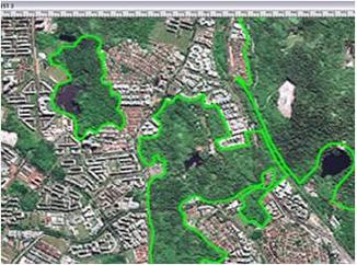 |
Parks |
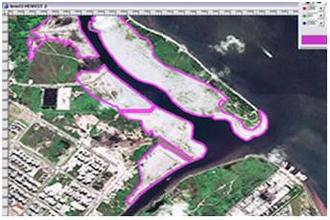 |
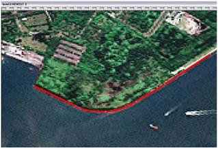
Shore Lines |
 |
Beaches |
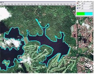 |
Reservoirs, Lakes & Rivers |
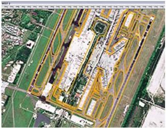 |
Airport |
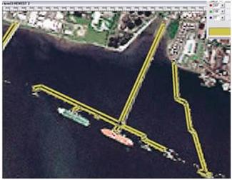 |
Piers |
 |
MRT & LRT |
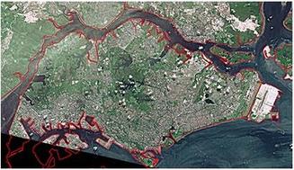
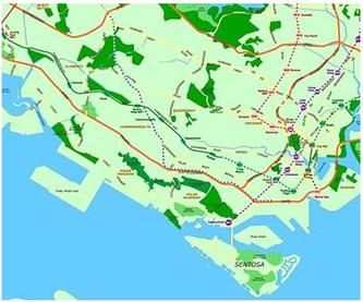
Once all the outlining is done, the image of Singapore will take shape as follows.
 |
Singapore outline complete with all the major information |
 |
Each outlined area is then filled with its own colour according to Streetdirectory.com's specification |
 |
|
