
GIS Solutions
 |
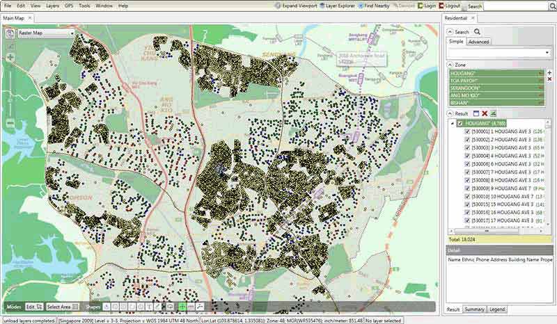
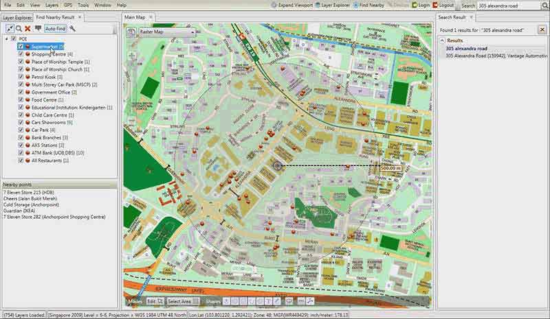
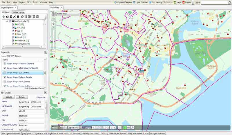
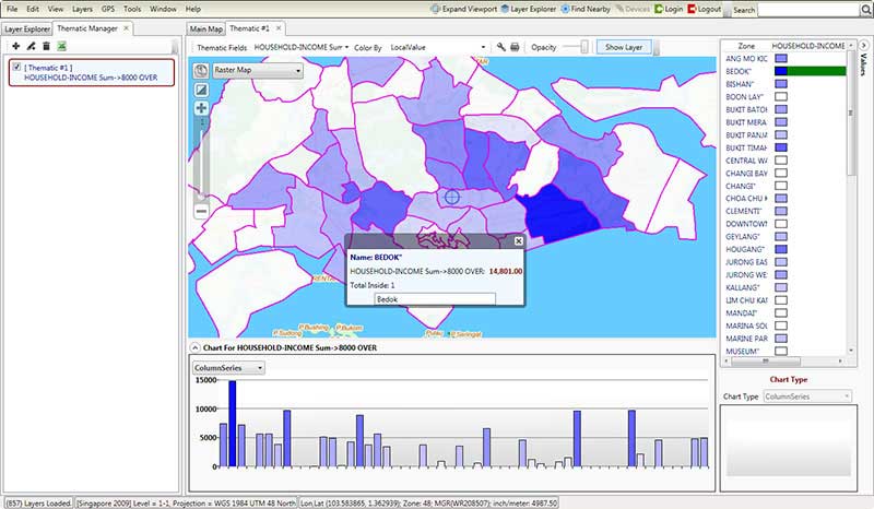
Space is a simple yet powerful application designed to let you plan and analyse like never before. You can import and analyze data and receive results in the form of graphical maps. Space comes fully installed with interactive maps, points of interests and zone layers. Space has allowed many companies to improve the visualization of operations and improved decision making particularly in Branch Planning, Market Analysis and Security sectors. Play the video below to have a preview! |
Space has been used in the following organisations:
|
Branch Planning
|
|